
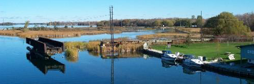
General view of the Mnjikaning Fish Wiers National Historic Site of Canada, showing the viewscapes along the shoreline, 2003.
Mnjikaning Fish Weirs National Historic Site
Mnjikaning Fish Weirs National Historic Site is located on portions of the bottom of the Narrows between Lakes Simcoe and Couchiching, a part of the Trent-Severn Waterway. This includes the navigable marked channel, the old channel that runs to the northeast and marshland surrounding these channels. The constriction of the Narrows allows fish to be caught as they move between the lakes, and the shallowness of the channel permits wooden weirs to be built there. The channel today is divided in two: the original channel curves to the northeast, and the navigation channel runs straight to the north. The navigation channel was first dredged in 1856-57, and dredging has also taken place in the original channel south of the junction. A linear island has been created along the eastern side of the navigation channel. A causeway for an old Canadian Pacific Railway bed runs across the north end of the narrows. Marshland lies in between these channels, and also east of the old channel. A third channel seems to have existed in the past, curving to the west of the navigation channel and it has been largely filled in by modern development. The official recognition refers to the location of the weirs underwater in the channel between the two lakes.
To find out more about this place, visit www.HistoricPlaces.ca.Hours of operation
The site is accessible year-round.
- Date modified :