
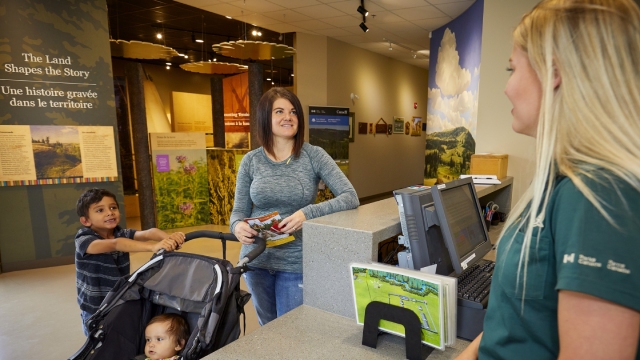
Plan your visit
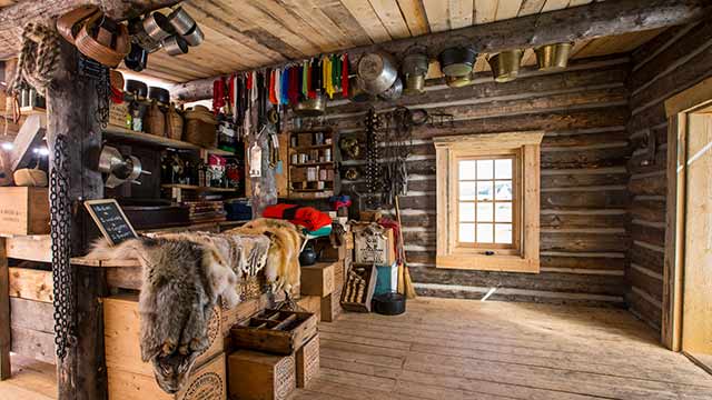
Fort Walsh National Historic Site
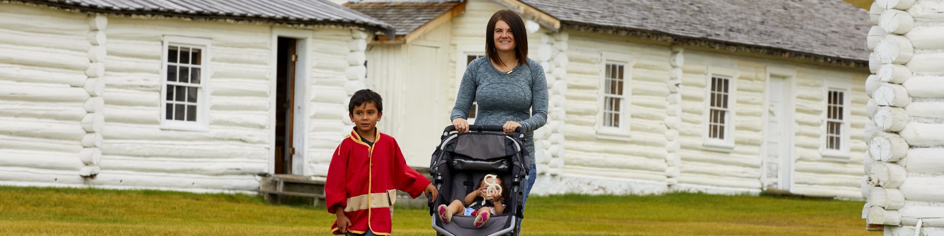
Fort Walsh is in Saskatchewan, an hour by road from Medicine Hat and 3.5 hours from major urban areas in Saskatchewan and Alberta. The Fort is 55km south on Highway 271 from the Trans-Canada Highway. Plan to spend at least a few hours at Fort Walsh.
NOTICE - When travelling to Fort Walsh from Elkwater, Alberta, please do not use online directions as there have been some issues with incorrect directions being provided and people getting lost. If you are looking for the best way to travel between those two locations, contact the site by phone or email.
Hours of operation
Find out when you can visit the site
Tours and programs
Guided tours, programs, workshops, and learning experiences.
Fees
Daily visitor fees, program fees, and more. Free admission for youth.
Passes
Seasonal and annual admission passes.
Brochures and publications
Maps, visitor guide.
Safety and guidelines
Important bulletins, weather, seasonal safety, and site regulations.
Local attractions and tourism
Community services, tourism information.
Facilities and services
Facilities and services available at Batoche National Historic Site
Planning Ahead
Planning ahead and being prepared are to key to having a safe and enjoyable trip!
How to get here
Location
P.O. Box 278
Maple Creek, SK
S0N 1N0
Phone
Administration office: 1-306-662-2645
Email
fort.walsh@pc.gc.ca
Directions
How to get here
Fort Walsh National Historic Site is located in south west Saskatchewan, and is part of Cypress Hills Interprovincial Park. The province is accessible by scheduled airline services that connect with most major centers in North America and northern Europe.
Air:
The Regina International Airport (YQR) is 431.4 km from Fort Walsh. The Calgary International Airport (YYC) is 442.9 km from Fort Walsh. Major car rental agencies operate out of these airport.
Car:
Notice - When travelling to Fort Walsh from Elkwater, Alberta, please do not use online directions as there have been some issues with incorrect directions being provided and people getting lost. If you are looking for the best way to travel between those two locations, contact the site by phone or email.
Fort Walsh National Historic Site is located 55 km southwest of Maple Creek, Saskatchewan, off the Trans Canada Highway. From Highway #1, proceed into the town of Maple Creek turning west (right) at the first intersection after the railway tracks. Follow Pacific Avenue west to Highway #21. Turn south (left) and continue to the Maple Creek Union Hospital. Make a right turn at the Maple Creek Union Hospital onto Highway #271. Travel 3 km west of Maple Creek then turn left at the Fort Walsh directional sign. Continue south on the #271 highway and watch for signs leading you directly to the historic site. The #271 highway is a paved, all-weather road.
For those travelling from the south or southeast, either take Highway #13 to the junction of the #21 Highway and then proceed to Maple Creek, or travel north on the #615 grid watching for directional signs, which will lead you directly to the historic site.
Facilities and services
Features
- Date modified :