
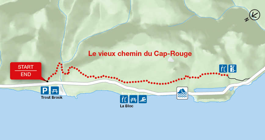
Le vieux chemin du Cap-Rouge
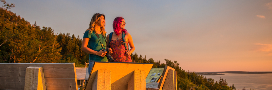
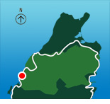
Cape Breton Highlands National Park
Follow the route of the old Cabot Trail from Trout Brook as it gently climbs to a ridge midway up Jerome Mountain, offering views of the Atlantic along the entire length of this trail. Traces of Acadian history abound, with the remains of an old school, foundations of the former residents' houses, and the old wharf at La Bloc visible at various points on the journey. Your efforts will be rewarded at the final look-off featuring spectacular views of Presqu'île and the Gulf of St. Lawrence. An exhibit at the look-off provides further information on the families who used to live here.
| Length | 9 km / 5.6 mi (return) |
     |
| Rating | Easy  |
|
| Elevation | 40 - 110 m (130 - 360 ft) | |
| Time | 2 - 3 hours | |
| Significant features | Acadian history, ocean views Long, gentle climb. Suitable for most skill levels. |
|
| Trailhead | On the Cabot Trail across from the Trout Brook picnic area Lat: 46.714762 Long: -60.933245 |
Related links
- Acadian
- Salmon Pools
- Le Chemin du Buttereau
- Le Buttereau
- Corney Brook
- Skyline
- Bog
- Benjie's Lake
- Fishing Cove
- MacIntosh Brook
- Lone Shieling
- Aspy
- Mica Hill
- Jack Pine
- Coastal
- Jigging Cove Lake
- Green Cove
- Broad Cove Mountain
- Warren Lake
- Franey
- Clyburn Valley
- Middle Head
- Freshwater Lake Look-off
- Freshwater Lake
- Date modified :